
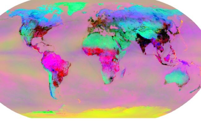
Open-source WorldTensor: A harmonised global dataset aligning hundreds of environmental and socio-economic indicators. Most existing Earth-system AI foundation models are trained on physical climate/weather data, ignoring the human systems that both drive and respond to environmental change. From Rodriguez-Carlo and Tavoni (2026).
It covers: Climate, extremes, air quality, emissions, land use, agriculture, vegetation, hydrology, cryosphere, oceans, human systems, energy, hazards and conflicts, soil, bathymetry, topography etc. From 1900-2025 (patchy data).
WorldTensor is likely best suited to cross-domain questions that need human and Earth systems side by side on one grid. For pretraining Earth-system multimodal foundation models that learn joint representations across hundreds of environmental and socioeconomic variables, then fine-tune to many downstream tasks.
Beyond that, its strongest applications are exposure and impact modelling (identifying which populations, cropland, or infrastructure sit in drought, heatwave, or cyclone zones by overlaying hazard, climate, and human-system layers), causal and attribution studies (relating human pressures like emissions and land conversion to environmental states like vegetation loss or hydrological change, since both are co-located), and integrated policy analysis that cuts across sectors (tracking energy transition progress against emissions and population, or climate-risk exposure against inequality). An interesting dataset to examine further.
Link to open dataset and paper https://arxiv.org/html/2607.03298v1
hashtag#geoscience hashtag#earthscience hashtag#social hashtag#geospatial hashtag#dataset hashtag#artificialintelligence hashtag#energytransition hashtag#environmentalscience hashtag#AI hashtag#climate
 A Geodyssey - Geoscience Text Analytics and Enterprise Search Research
Leave a comment