
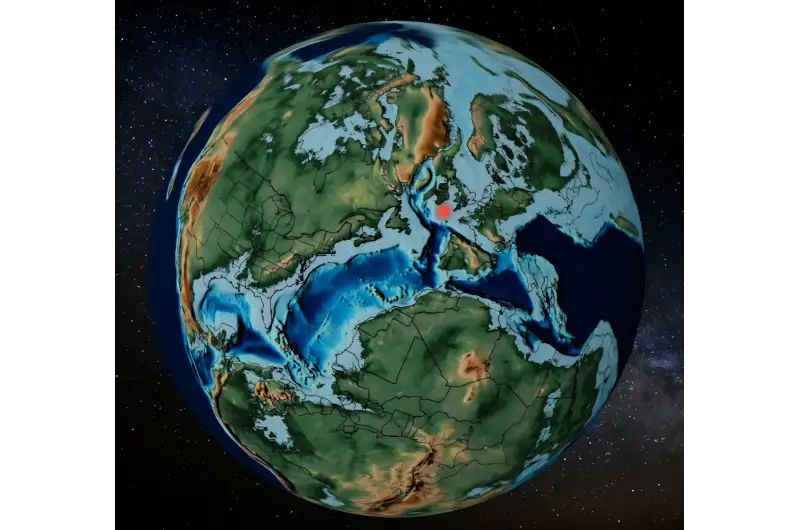
Open-source: A user-friendly online tool for paleocoordinate calculation and 3D visualization.
Interesting paper from Scholz-Mercia et al (2026) from the University of Barcelona.
Abstract
To understand the distribution of continents throughout geological history, researchers rely on Global Plate Models (GPMs), which describe the movement of Earth’s tectonic plates over time.
However, the complexity and variability of these models may limit their accessibility to non-specialist researchers. To address this challenge, we developed Paleocoordinates Calculator (PACA). PACA is a web-based graphical interface built on the palaeoverse R package, which in turn queries the GPlates Web Service to perform plate-tectonic rotations. PACA enables researchers to upload georeferenced data and select from a range of GPMs to obtain reconstructed paleocoordinates without requiring programming skills or specialized software. PACA also enables three-dimensional visualization of reconstructed data integrated with Scotese’s paleogeographic maps.
Technical validation shows near-perfect agreement with GPlates desktop software, with median spatial errors under 17 m, a Concordance Correlation Coefficient (CCC) of 1.000, and no systematic biases (Wilcoxon tests, p > 0.05) across all models. By simplifying access to paleogeographic rotation, PACA streamlines workflows and promotes transparency and reproducibility in Earth science research.
Examples of fossil data (although any geoscience data type could be loaded) and link to the paper https://www.nature.com/articles/s41598-026-46309-z
 A Geodyssey - Geoscience Text Analytics and Enterprise Search Research
Leave a comment