
Google AlphaEarth Foundation models released in the Satellite Embedding Dataset in Google Earth Engine.
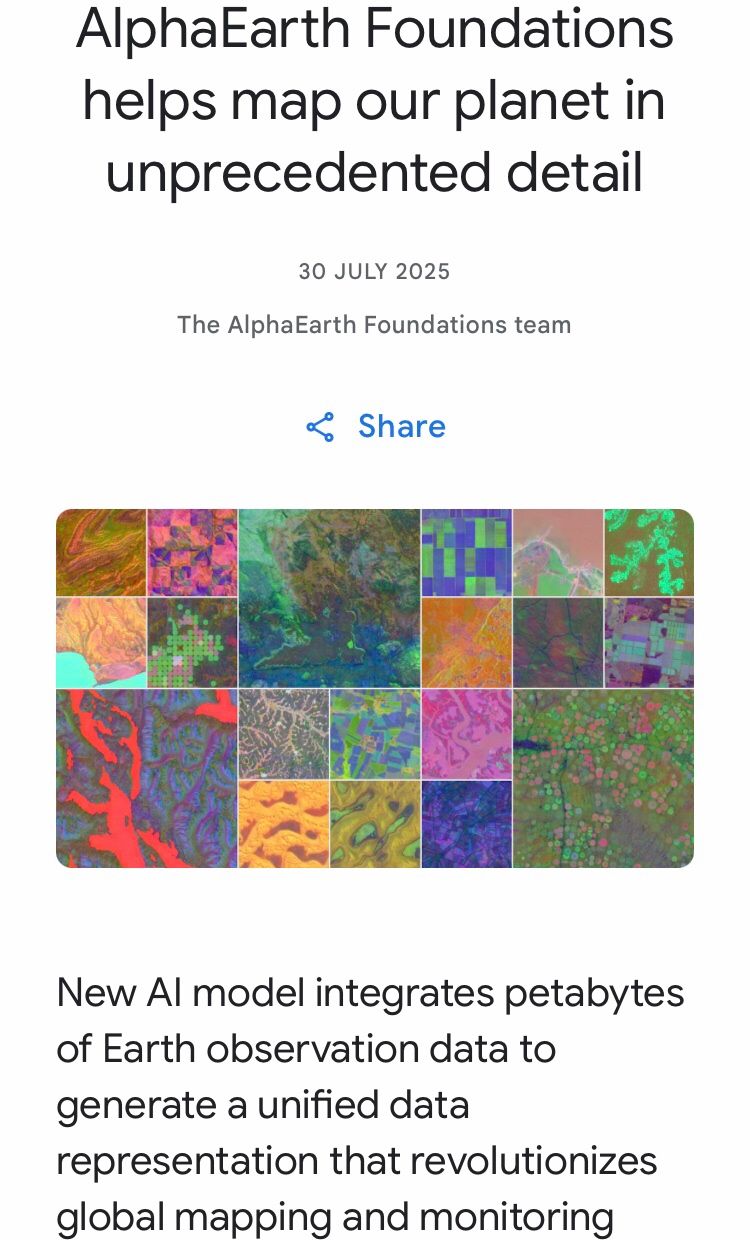
“AlphaEarth Foundations is an artificial intelligence (AI) model that functions like a virtual satellite. It accurately and efficiently characterizes the planet’s entire terrestrial land and coastal waters by integrating huge amounts of Earth observation data into a unified digital representation, or “embedding,” that computer systems can easily process. This allows the model to provide scientists with a more complete and consistent picture of our planet’s evolution, helping them make more informed decisions on critical issues like food security, deforestation, urban expansion, and water resources.
To accelerate research and unlock use cases, we are now releasing a collection of AlphaEarth Foundations’ annual embeddings as the Satellite Embedding dataset in Google Earth Engine. Over the past year, we’ve been working with more than 50 organizations to test this dataset on their real-world applications.
Our partners are already seeing significant benefits, using the data to better classify unmapped ecosystems, understand agricultural and environmental changes, and greatly increase the accuracy and speed of their mapping work. In this blog, we are excited to highlight some of their feedback and showcase the tangible impact of this new technology.”
I can see many applications for geohazard and natural disaster support for the geosciences. Link in the comments.

Leave a comment