
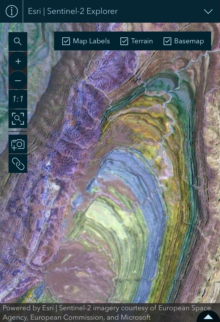
Beautiful open access global multispectral satellite imagery in the Sentinel-2 explorer app. Included in the ArcGIS Living Atlas of the World.
The Copernicus Sentinel-2 is a European mission based on a constellation of two identical satellites in the same orbit. Each satellite carries an innovative wide swath high-resolution multispectral imager with 13 spectral bands for a new perspective of our land and vegetation.
“With its multispectral sensor and wide swath coverage, the Sentinel-2 mission not only offers continuity with the Landsat missions, it also expands upon them by offering greater spatial resolution and unique spectral capabilities for monitoring agriculture and vegetation around the world.”
“Powered by the Sentinel-2 Level-2A multispectral imagery from ArcGIS Living Atlas, and the ArcGIS Maps SDK for JavaScript, Sentinel-2 Explorer provides unprecedented ease of use and accessibility to the full archive of Sentinel-2 Level-2A science products. Whether educating the next generation of managers, scientists, influencers, and decision makers, or helping today’s community unlock useful insights, the app has something for everyone, furthering the reach of Sentinle-2 imagery and enabling innovation.”

Leave a comment