
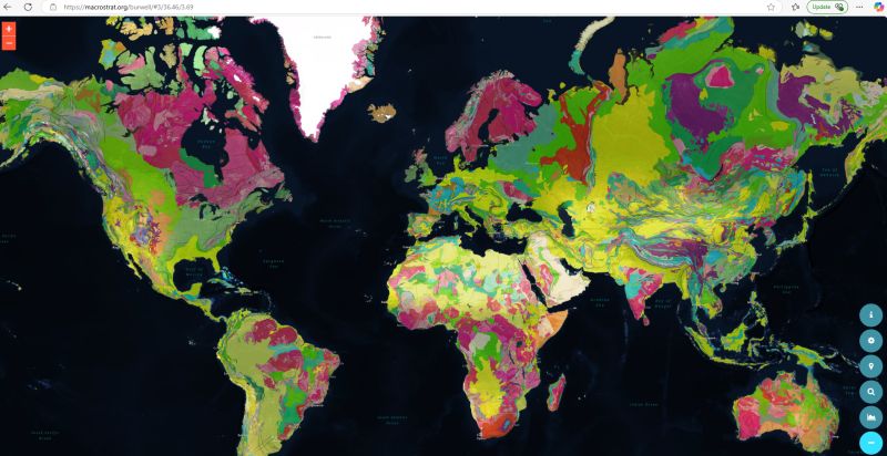
More incredible open-access geological datasets. Macrostrat is the world’s largest homogenised geological map database, over 2.5 Million geological polygons and over 50,000 stratigraphical names all open and accessible via an API to download. There is also a range of interactive tools, including a Digital Elevation Profile and mobile fieldbook for a smartphone.
Global Big Data and AI initiatives have been taking place for over a decade in the geological sciences. First introduced in 2015, “Macrostrat is a platform for the aggregation and distribution of geological data relevant to the spatial and temporal distribution of sedimentary, igneous, and metamorphic rocks as well as data extracted from them. It is linked to the xDD (formerly GeoDeepDive) digital library and machine reading system, and it aims to become a community resource for the addition, editing, and distribution of new stratigraphic, lithological, environmental, and economic data. Interactive applications built upon Macrostrat are designed for educational and research purposes.”
Macrostrat data infrastructure development was supported by the US National Science Foundation (NSF). Continuous and ongoing support has also been provided by the University of Wisconsin-Madison.
https://macrostrat.org/
https://agupubs.onlinelibrary.wiley.com/doi/10.1029/2018GC007467

Leave a comment