
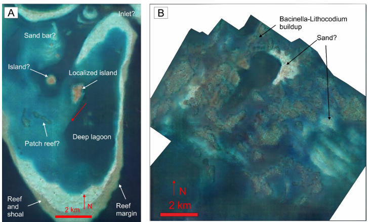
Interesting use of GenAI methods to create photorealistic satellite imagery analogues from seismic attribute maps as a visual aid for depositional environment models in seismic interpretation.
Ramdani et al (2024) conclude, “Conditional Generative Adversarial Network utilized as a method to convert seismic attribute maps into photorealistic virtual satellite image renditions of the modern analog. This virtual satellite image acts as a visual aid for the interpreter, providing more visual clarity to convey the geological interpretation of seismic data rather than relying solely on the narrative description. We are optimistic that these virtual satellite images will facilitate better data presentation and integration, especially for non-geoscientists.”
There may be many other use cases where these methods could be used within geoscience to enhance multi-disciplinary communication and collaboration.
Paper here: https://onepetro.org/IPTCONF/proceedings-abstract/24IPTC/All-24IPTC/IPTC-23451-EA/542501

Leave a comment