
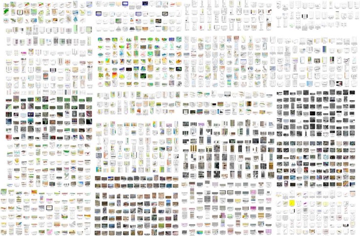
This is what (a subset) of 5,000 labelled subsurface / geoscience images looks like which are typically found in documentation! Happy to share freely with anyone for non-commercial use supporting the geoscience community. These can be used to train a machine vision classifier to help geoscientists sift through this vast amount of information in their documentation. Using no-code machine vision tools, it is perhaps much easier to build deep learning models than some may think.
#artificialintelligence #geosciences #digitalgeoscience #subsurface #earthscience #geology #deeplearning

Leave a comment